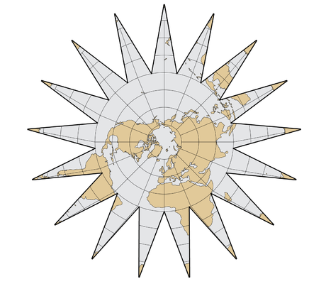
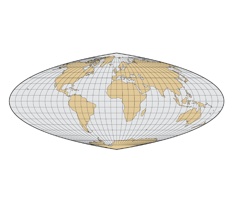
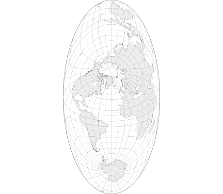
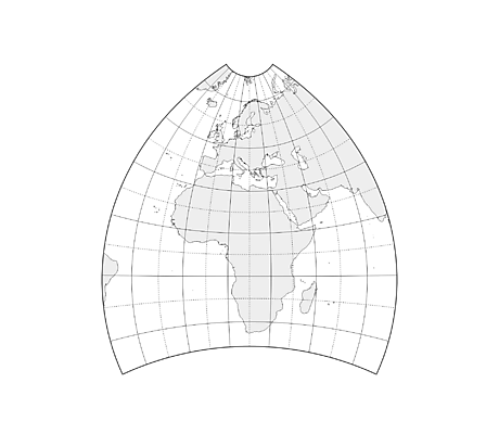
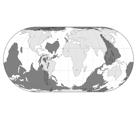
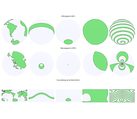
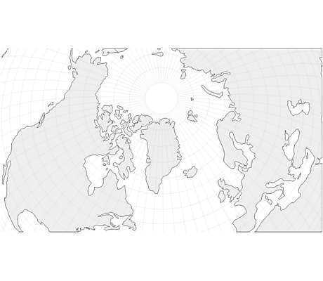
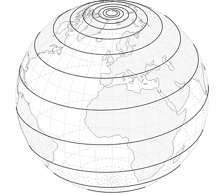
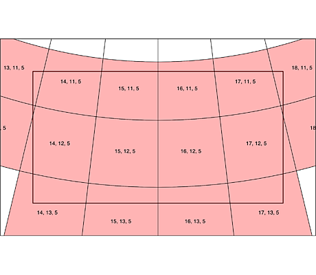
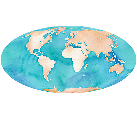
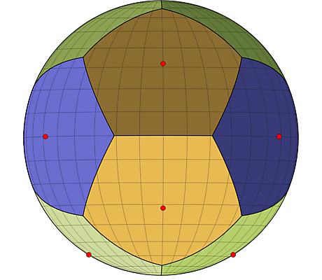
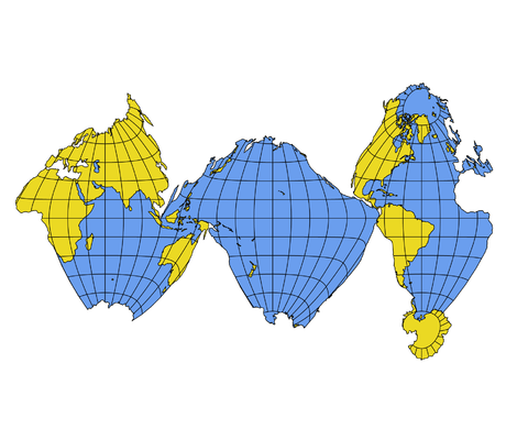
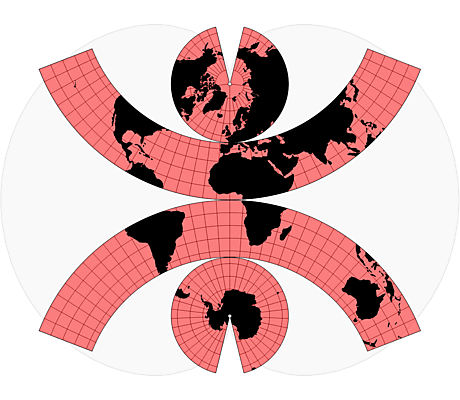
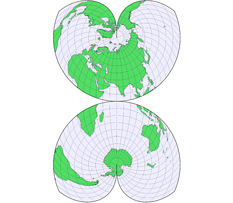
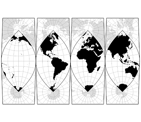
Maps

Interrupted Maps

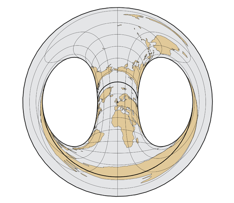
In some ways, all 2D maps of Earth are interrupted at some point, even if it’s just along the antimeridian at 180°. Interruptions are often in areas of less interest e.g. oceans for a land-focused map.
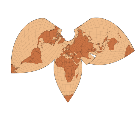
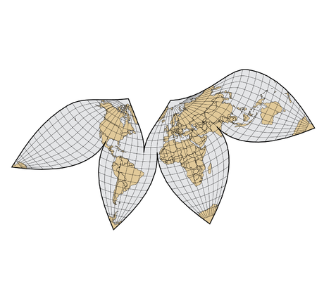
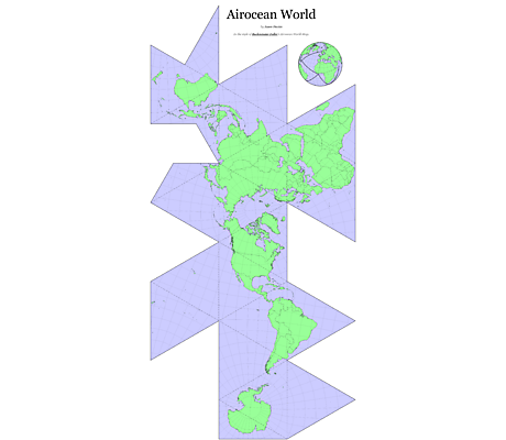
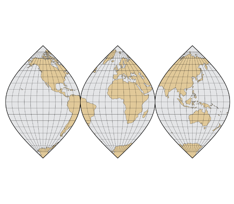
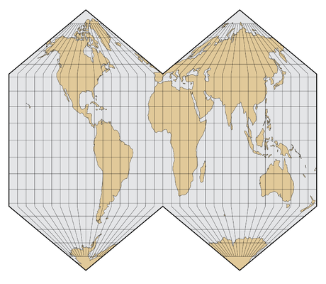
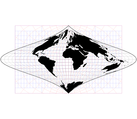
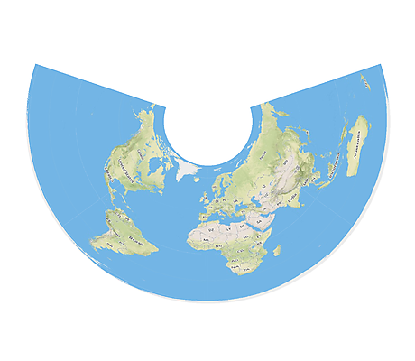
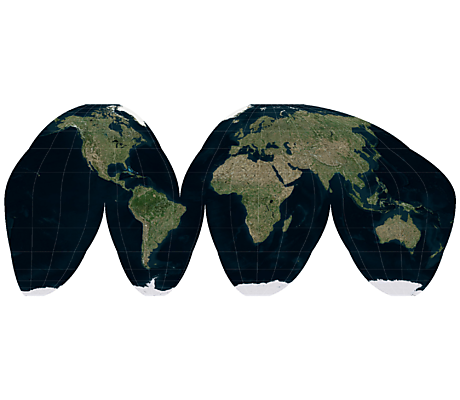
Bartholomew’s Regional Projection
Spilhaus Maps
Interrupted Lambert Conformal Conic Projection
Interrupted Bonne Projection
Sinu-Mollweide
Mollweide Hemispheres
The Polyconic Projection
Double Cordiform
Airocean World
Interrupted Transverse Mercator

Butterfly Maps

The most common way of laying out an octahedron’s eight equilateral triangles is known as a “butterfly map”.

Gnomonic Butterfly Map
Waterman Butterfly Map
Collignon Butterfly Map

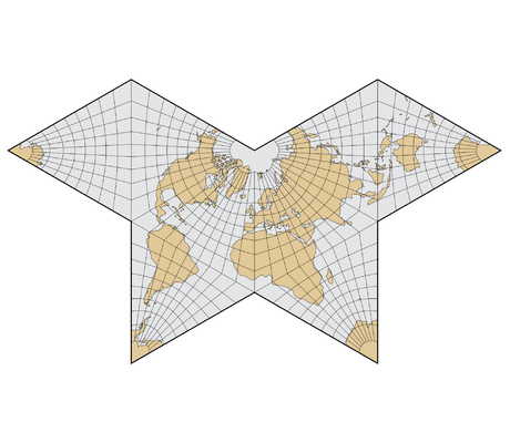
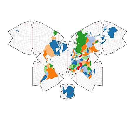
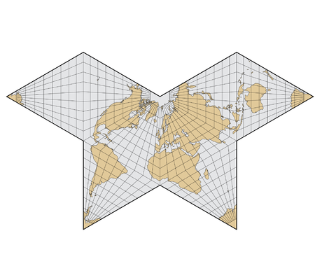
The butterfly maps were all automatically generated using the geo.polyhedron D3 plugin.

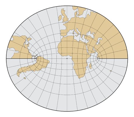
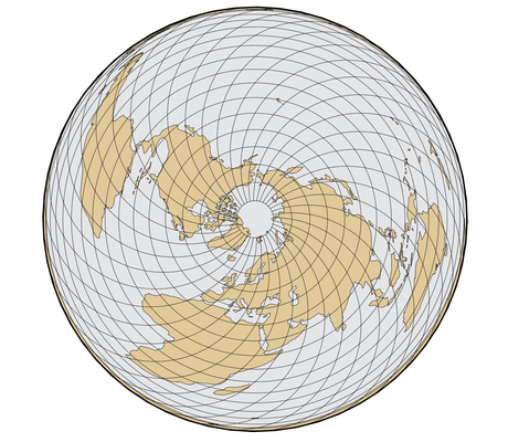
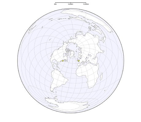
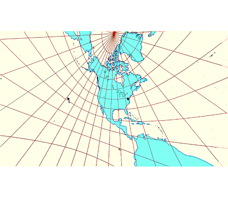
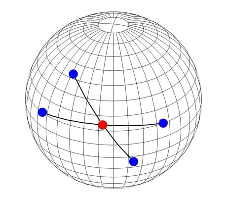
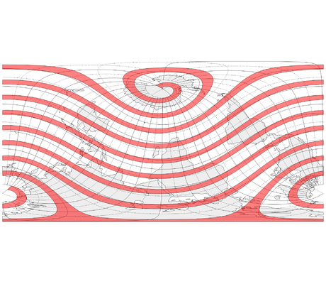
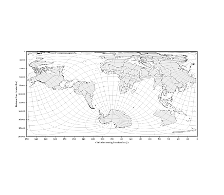
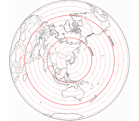
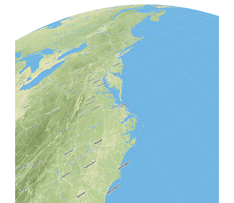
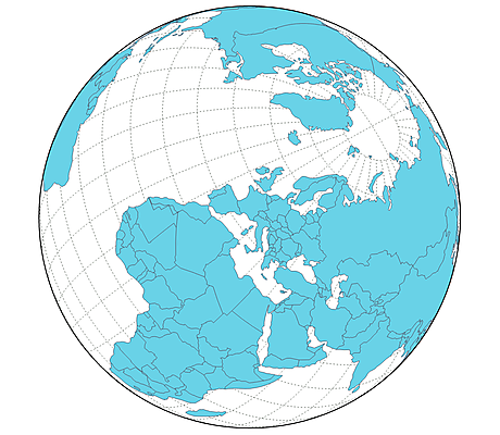
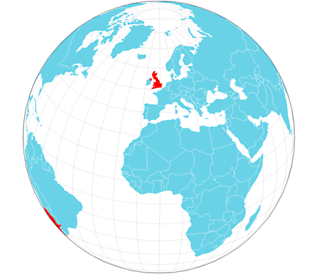
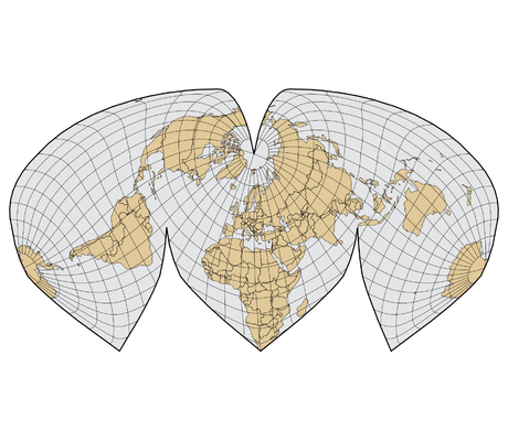
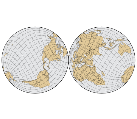
Retroazimuthal Projections

A retroazimuthal projection shows the true azimuth of the centre from all other points.

Littrow Projection
Hammer Retroazimuthal Projection
Craig Retroazimuthal Projection

Miscellaneous Projections

Interrupted Sinusoidal Projection
Berghaus Star Projection
Armadillo Projection
Wiechel Projection
HEALPix Projection
Quartic Authalic Projection
Atlantis Map
Two-Point Equidistant
Two-Point Azimuthal
Modified Stereographic Projections
Peirce’s Quincuncial Projection
Chamberlin Trimetric Projection
Gilbert’s Two-World Perspective
Foucaut’s Stereographic Equivalent

Other

Great Circle Arc Intersections
Projection Transitions
Antipodes
Geographic Clipping
Random Points on a Sphere
Topology-Preserving Simplification
Spiral Stress Test
Great-Circle Distance
Viewport Clipping
Azimuth and Distance from London
Countries by Area
Loxodrome
Sphere Spirals
Distances from North Korea
Geographic Bounding Boxes
Automatic Projection Tiles
Rivers of the U.S.A.
Reprojected Raster Tiles
Satellite Raster
Mollweide Watercolour
Interrupted Goode Raster
Tissot’s Indicatrix
Rotate the World
Spherical Voronoi Diagrams
Bounding Circle Tree
Animated World Zoom